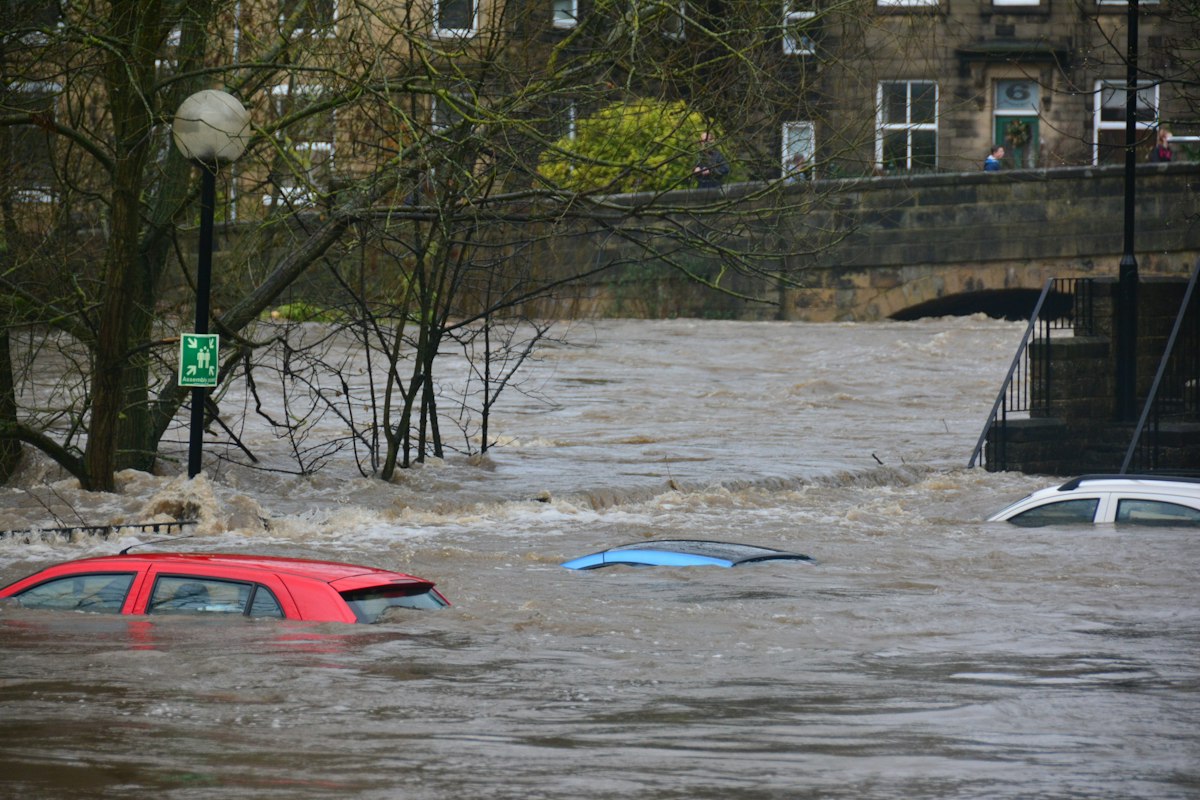
Climate change allowances are the single biggest reason a flood risk assessment (FRA) passes or fails at planning. They are the uplifts the Environment Agency asks you to add to present-day flood data to account for a wetter, stormier future - and if your assessment uses the wrong allowance, or ignores it, a case officer or lead local flood authority can reject the report outright. This guide explains what the allowances are, which figures apply in 2026, and how they shape finished floor levels and drainage design.
These rules apply to planning applications in England. Scotland, Wales and Northern Ireland run their own flood-risk regimes, so the allowances and epochs below should not be applied outside England.
What a climate change allowance actually is
A climate change allowance is a percentage uplift applied to a baseline flood figure. The Environment Agency publishes allowances for four things: peak river flow, peak rainfall intensity, sea level rise, and offshore wind speed and extreme wave height. In practice, most small and medium planning applications are concerned with the first two - peak river flow for fluvial (river) sites, and peak rainfall for surface water and drainage design.
The idea is simple: a defence, floor level or drainage system that only copes with today’s flood risk will be undersized by the time the building is halfway through its life. The allowance builds in headroom so the development remains safe for its whole lifetime. If you are new to FRAs, start with our explainer on what a flood risk assessment is and when you need one.
Central and upper-end allowances - and why the percentile matters
The allowances are expressed as percentiles of a range of climate projections:
- The central allowance is the 50th percentile - half of the projected scenarios fall below it and half above.
- The higher central and upper-end allowance (the 95th percentile) represent more extreme scenarios, exceeded by only a small proportion of projections, and are used to test how sensitive a site is to a worse-than-average future.
Which one you must use depends on the flood zone, the vulnerability of the development and the part of the assessment. Highly vulnerable uses, and the sensitivity testing behind finished floor levels, generally have to consider the upper-end allowance. The current Environment Agency guidance sets out, for FRAs and strategic FRAs, that you must assess the upper-end allowances for both the 1% and 3.3% annual exceedance probability (AEP) events for the 2070s epoch (2061 to 2125) for many development types - so a report that only looks at the central figure can be sent back.
Epochs: matching the allowance to the building’s lifetime
Allowances are grouped into time periods, or “epochs” - typically the 2050s and the 2070s. You choose the epoch that covers the development’s design life. A new dwelling expected to stand for a century is assessed against the later epoch, so a 2026 house is normally tested against the 2070s allowances. Using too near an epoch understates the risk and is a common reason for an FRA to be queried.
How allowances drive finished floor levels
The most visible output of the allowance is the finished floor level (FFL). Environment Agency standing advice typically expects habitable floor levels to be set no lower than 600mm above the 1% AEP (1-in-100 year) river flood level including the climate change allowance - the 600mm is a freeboard safety margin. Get the allowance wrong and every floor level, threshold and access point in the scheme is set from a flawed baseline. Our guide to the 2026 Flood Map for Planning update explains how the new surface-water data now provides banded design depths that feed straight into these calculations.
Allowances and your drainage strategy
Peak rainfall allowances feed the other half of the assessment: the drainage strategy. Sustainable drainage systems (SuDS) must be sized so that even a climate-adjusted storm does not overwhelm them or increase runoff onto neighbours. That means attenuation tanks, soakaways and permeable surfaces are all sized using rainfall figures uplifted for the relevant epoch. We cover the wider drainage rules in SuDS national standards and Schedule 3, and the design of SuDS follows the CIRIA C753 SuDS Manual.
Where applicants go wrong
- Using the central allowance where the upper-end figure is required for sensitivity testing.
- Applying an out-of-date epoch, or the wrong river basin district figure.
- Setting finished floor levels from the present-day flood level and forgetting the climate uplift and the 600mm freeboard.
- Sizing SuDS on today’s rainfall rather than the climate-adjusted storm.
- Treating surface water risk as an afterthought - often the risk applicants most underestimate.
How Fortress Associates can help
Our automated flood risk assessment service produces a site-specific FRA for English planning applications using live Environment Agency data, and the report is free. It applies the correct climate change allowances and epoch for your site, screens the EA flood zones and surface water risk, and sets out a SuDS drainage strategy to CIRIA C753 - following the Environment Agency FRA template (March 2025). See our other planning report services or contact us if you need help interpreting an allowance for a specific site.
Sources & further reading
Need help with a UK planning project?
Fixed-fee daylight & sunlight reports and Building Regulations drawings - delivered in 4–5 working days, no advance payment - plus flood risk assessments, air quality assessments, energy statements and sustainability statements for planning applications across the UK.
Request a free quote