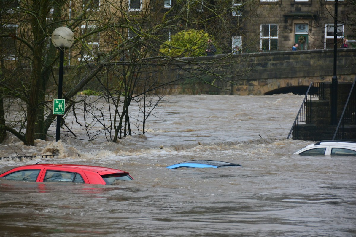
The Flood Map for Planning changed significantly on 28 May 2026, when the Environment Agency added surface water flood-risk data with climate change and new depth information to the service. If you are preparing a planning application in England, the map your flood risk assessment relies on now shows more - and demands more - than it did a year ago.
This is the third major refresh of the Flood Map for Planning in just over a year. Together the changes reflect far better national data and a firmer policy line on surface water. Here is what has actually changed, and what it means for your flood risk assessment (FRA).
What changed on 28 May 2026
The Environment Agency added two new datasets to the Flood Map for Planning:
- Surface water flood-risk extents with climate change, modelled against the upper-end (95th percentile) climate change allowance for the 2070s epoch (2061–2125).
- Banded depth information for surface water - present day and with climate change - given across seven depth bands for the 3.3%, 1% and 0.1% annual exceedance probability (AEP) events.
On the same day, the older "Check Your Long Term Flood Risk" surface water datasets stopped being used for development planning. In short, surface water is no longer a rough, secondary layer on the map - it is now presented with the same rigour as river and sea flooding, complete with climate-change projections and flood depths.
The bigger picture: three updates in a year
The May 2026 change is the latest step in a rapid overhaul of national flood data:
- March 2025 - NaFRA2 launch. The Flood Map for Planning was rebuilt on the second National Flood Risk Assessment, increasing the underlying grid resolution from 50 metres to 2 metres and integrating hundreds of detailed local flood models.
- August 2025 - Flood Zones plus climate change. A new layer showing how flood zones may expand under climate allowances was added.
- May 2026 - surface water with climate change and depths, as above.
The practical effect is that a site checked on the old 50-metre map may now sit in a different risk picture entirely. It is always worth re-checking the Flood Map for Planning before you assume last year's screening still holds.
Which sites are most affected
The finer 2-metre resolution and the new surface water layers mean the sites most likely to see a changed risk picture are small and urban - precisely the householder extensions, infill plots and single new dwellings that make up the bulk of planning applications. A plot that looked comfortably in Flood Zone 1 on the old river-and-sea map can now register a credible surface water pathway, because water ponding in streets, car parks and low spots is finally mapped at a resolution that resolves individual properties. Low-lying gardens, basement and lightwell schemes, and sites downhill of large impermeable areas deserve particular attention.
Crucially, surface water risk is often invisible on the ground: it does not need a river nearby. That is why the update matters even for sites that have never flooded from a watercourse.
What it means for your flood risk assessment
Two consequences matter most for applicants.
Surface water can no longer be waved through. The September 2025 update to Planning Practice Guidance confirmed that the Sequential Test must consider all sources of flooding - including surface water, with climate change. A narrow exemption applies where a site-specific FRA demonstrates that occupiers will remain safe for the lifetime of the development. With banded depths now published, a competent FRA can make exactly that case with evidence, rather than a bald assertion.
Depth data raises the bar for mitigation. Knowing that a plot could see, say, 300–600 mm of surface water in a 1% AEP event with climate change directly informs finished floor levels, flood resistance and resilience measures, and the drainage strategy. Vague "the site is at low risk" statements will not survive scrutiny where the map now shows a credible depth.
What applicants should do now
- Re-screen the site on the current Flood Map for Planning - do not rely on a check from before May 2026.
- Treat surface water as a primary risk, not an afterthought, in both the Sequential Test and the FRA itself.
- Design drainage early. A sustainable drainage (SuDS) strategy to CIRIA C753 is far easier to embed at concept stage than to bolt on after a refusal.
- Use the depth bands to set defensible finished floor levels and resilience measures in line with Environment Agency standing advice.
How Fortress Associates can help
Our flood risk assessment service produces a site-specific FRA for English planning applications using live Environment Agency data - so your report reflects the 28 May 2026 surface water and depth layers, not last year's map. The report is free, follows the Environment Agency FRA template (March 2025), screens all flood sources for the Sequential Test, and sets out a SuDS drainage strategy to CIRIA C753. If you are working on a householder extension, a new dwelling or a small-scale scheme in England, contact us to get started, or see our full services.
Sources & further reading
Need help with a UK planning project?
Fixed-fee daylight & sunlight reports and Building Regulations drawings - delivered in 4–5 working days, no advance payment - plus flood risk assessments, air quality assessments, energy statements and sustainability statements for planning applications across the UK.
Request a free quote