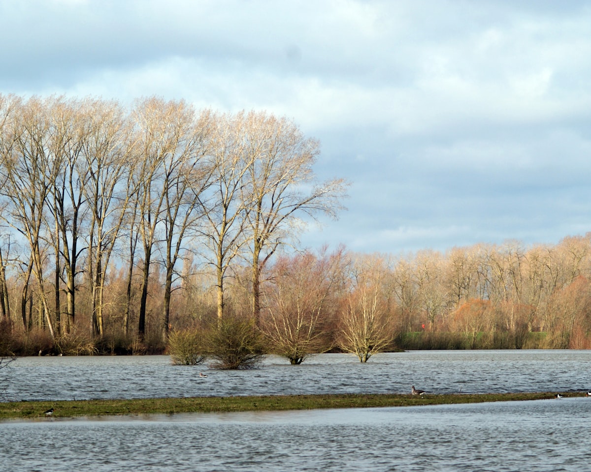
Flood Zones 1, 2 and 3 are the Environment Agency’s way of describing how likely a piece of land is to flood from rivers and the sea. Your flood zone is the first thing a planning officer checks, and it decides whether you need a flood risk assessment, whether the Sequential Test applies, and sometimes whether your development is acceptable at all.
The zones are shown on the Environment Agency’s Flood Map for Planning, which was significantly updated through 2025 and 2026. This guide explains what each zone means, the important thing the zones leave out, and what your zone means for a planning application in England.
Flood Zones 1, 2 and 3 explained
The flood zones describe the probability of flooding from rivers (fluvial) and the sea (tidal) ignoring the presence of flood defences. That is deliberate - it shows the underlying risk if defences were not there. There are four categories:
- Flood Zone 1 (Low probability): land with less than a 0.1% chance of river or sea flooding in any year - less than 1 in 1,000. Most of England sits in Zone 1. A site here usually needs only a short flood risk statement, and only above 1 hectare.
- Flood Zone 2 (Medium probability): land with between a 0.1% and 1% annual chance of river flooding (1 in 1,000 to 1 in 100), or between 0.1% and 0.5% from the sea. A site-specific flood risk assessment is required.
- Flood Zone 3a (High probability): land with a 1% or greater annual chance of river flooding (1 in 100 or higher), or 0.5% or greater from the sea (1 in 200). More vulnerable development here must pass the Sequential and often the Exception Test.
- Flood Zone 3b (Functional floodplain): land where water has to flow or be stored in times of flood. Very little new development is acceptable here.
Because the zones ignore defences, a property protected by a flood wall can still sit in Zone 3 - the map shows the raw risk, and your assessment then accounts for the defences in place.
What the flood zones don't tell you: surface water
The single biggest gap in the flood zones is that they only cover rivers and the sea. They say nothing about surface water (pluvial) flooding - the flash flooding that follows intense rainfall when drains and the ground cannot cope. Surface water is now the most widespread flood risk in England, and it can affect land firmly inside Flood Zone 1.
This is why the 2026 refresh of the Flood Map for Planning matters. On 28 May 2026 the Environment Agency added surface water climate change extents and banded depth layers to the map, following the NaFRA2 launch in March 2025. The climate change scenario shifted to the upper-end (95th percentile) 2070s allowance, putting surface water on the same forward-looking footing as rivers and the sea. Read our summary of the 2026 Flood Map for Planning update for the detail.
What your flood zone means for your planning application
Your zone sets the level of assessment. A site-specific flood risk assessment is required if you are in Flood Zone 2 or 3, if your site exceeds 1 hectare in Zone 1, if it is in an area with critical drainage problems, or where the development could increase flood risk elsewhere.
In Zone 2 and 3 you may also need to pass the Sequential Test, which steers development towards lower-risk land, and the Exception Test, which requires wider sustainability benefits and safe development where higher-risk land is unavoidable. The assessment also has to show how surface water will be managed, usually through a sustainable drainage (SuDS) strategy that limits runoff to greenfield rates.
How to check your flood zone in minutes
Anyone can check a site free of charge on the Environment Agency’s flood map for planning. Enter a postcode or grid reference and the map shows the flood zone plus the newer surface water and climate change layers. It is the right starting point, but a screenshot of the map is not a flood risk assessment - planning officers expect a site-specific report that interprets the data for your proposal.
How Fortress Associates can help
Fortress Associates produces automated, site-specific flood risk assessments for planning applications in England, using live Environment Agency data at the moment the report is created. The report screens your flood zone, assesses surface water risk, supports the Sequential and Exception Tests where needed, and sets out a SuDS drainage strategy to CIRIA C753. The report is free and typically ready in minutes. Flood policy differs across the UK, so this automated service is for sites in England; you can start on our flood risk assessment page or ask a question via contact.
Sources & further reading
Need help with a UK planning project?
Fixed-fee daylight & sunlight reports and Building Regulations drawings - delivered in 4–5 working days, no advance payment - plus flood risk assessments, air quality assessments, energy statements and sustainability statements for planning applications across the UK.
Request a free quote