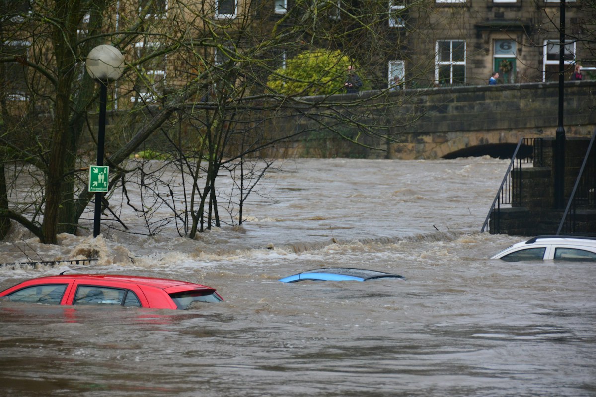
Ask most applicants about flood risk and they picture a river bursting its banks. Yet for a large share of UK sites the bigger danger is surface water - rainfall that overwhelms drains and runs across the ground before it reaches any watercourse. It is the flood risk most often missed at planning stage, and in 2026 the data behind it changed significantly.
This article explains what surface water flooding is, why it now sits at the centre of many flood risk assessments, and what a planning application needs to demonstrate to satisfy the lead local flood authority and the Environment Agency.
What is surface water flooding?
Surface water flooding - sometimes called pluvial flooding - happens when intense rainfall exceeds the capacity of drains, sewers and the ground to absorb it. Water then ponds in low spots and flows overland along natural pathways. Unlike river or coastal flooding, it can occur almost anywhere, including sites comfortably outside Environment Agency Flood Zones 2 and 3. That is precisely why it catches applicants out: a site can sit in Flood Zone 1 for river and sea flooding yet still carry a real surface water risk.
Because surface water risk is tied to topography, drainage capacity and how much hard surface a scheme creates, development itself can make it worse. Replacing a permeable garden with a roof, patio and driveway increases the volume and speed of run-off - the core problem that sustainable drainage is designed to solve.
What changed in 2026
On 28 May 2026 the Environment Agency updated the Flood Map for Planning, adding surface water climate-change extents and banded depth information and retiring the older Check Your Long Term Flood Risk surface-water data for planning use. The new layers model upper-end allowances for the 2070s and give the design depth bands that a competent assessment actually needs. In short, surface water is now mapped with far more nuance than before, and planners increasingly expect applications to engage with it directly. We covered the wider refresh in our note on the 2026 Flood Map for Planning update.
Alongside the mapping, the government introduced new national standards in June 2026 requiring sustainable drainage systems to be designed for changing climatic conditions while delivering wider benefits - flood prevention, reduced run-off, water quality and biodiversity. The direction of travel is clear: manage rainfall on site, and evidence it.
Why applications get refused or delayed on surface water
The most common failings we see are not exotic. They are basic omissions:
- Assuming Flood Zone 1 means no flood work is needed. Surface water risk is assessed separately from river and sea flood zones. A low-lying Zone 1 plot can still flood in heavy rain.
- No drainage strategy. Even where a full flood risk assessment is not triggered, many authorities expect a surface water drainage strategy showing run-off is not increased.
- Ignoring overland flow paths. Building across a natural drainage route without accommodating it can push flooding onto neighbours - a reliable route to objection.
- No climate change allowance. Run-off calculations must include the relevant uplift; our guide to climate change allowances explains how these are applied.
How to address surface water in your application
Screen the risk properly
Start by checking the site against the updated Flood Map for Planning surface water layers, not just the river and sea flood zones. Note the depth bands and any overland flow routes crossing the site.
Manage run-off with SuDS
Sustainable drainage systems - permeable paving, soakaways, rain gardens, attenuation tanks and green roofs - slow and store rainfall so the developed site discharges no faster than before. The reference standard is CIRIA C753, the SuDS Manual, and the aim on most small sites is to mimic the greenfield or pre-development run-off rate. Our overview of SuDS for small sites walks through choosing the right components.
Set levels and protect flow paths
Finished floor levels, careful grading and preserved overland routes keep water away from buildings and stop a scheme worsening risk elsewhere. These measures should be shown on the drainage strategy, not left to detailed design.
Evidence it in the FRA or drainage strategy
Bring the screening, calculations and SuDS proposals together in a single document the lead local flood authority can sign off. Half the battle is presenting the evidence clearly.
How Fortress Associates can help
Fortress Associates produces automated, site-specific flood risk assessments for England using live Environment Agency data, including the current surface water layers, with a SuDS drainage strategy prepared to CIRIA C753 and the non-statutory technical standards. The report is free and ready in minutes, and it follows the Environment Agency FRA template (March 2025) and standing advice on floor levels and resilience. It is aimed at householder extensions, new dwellings and small-scale applications across England. Explore our services or contact us to get started.
Sources and further reading
Need help with a UK planning project?
Fixed-fee daylight & sunlight reports and Building Regulations drawings - delivered in 4–5 working days, no advance payment - plus flood risk assessments, air quality assessments, energy statements and sustainability statements for planning applications across the UK.
Request a free quote