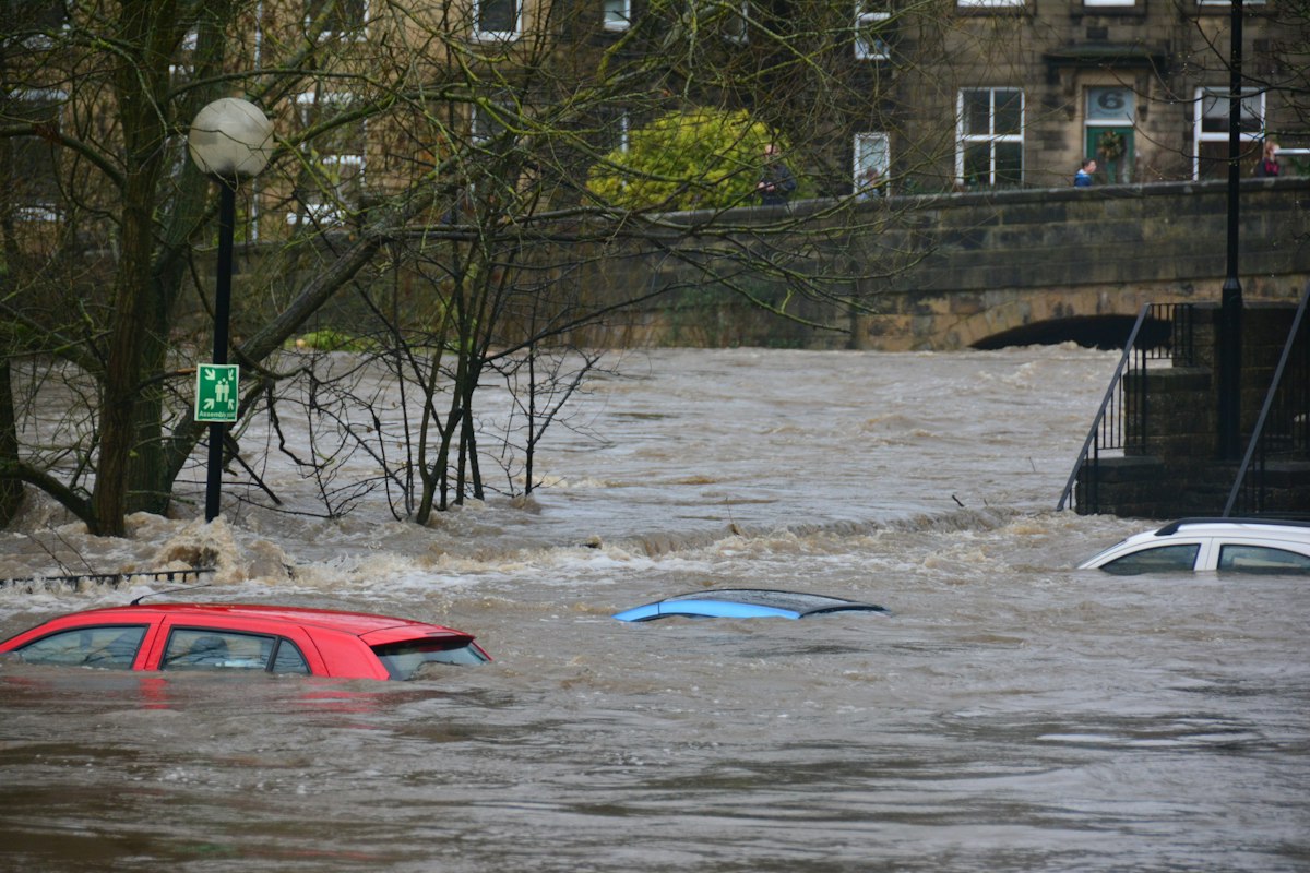
The Environment Agency has changed how flood risk is measured on its planning maps. From 28 May 2026, the Flood Map for Planning now shows not just where water is likely to reach, but how deep it is likely to get — presented in seven depth bands. For anyone preparing a flood risk assessment (FRA) in England, this is the most useful upgrade to the national data in years, because depth is what actually drives finished floor levels, resilience measures and drainage design.
This guide explains the new banded depth data, what the seven bands are, and how to use them properly in your FRA.
What changed on 28 May 2026
On 28 May 2026 the Environment Agency added two things to the Flood Map for Planning: updated surface water flood-risk extents that include a climate change scenario, and — for the first time nationally — banded depth information for surface water flooding. On the same day, the older surface water datasets from the public "Check your long term flood risk" service stopped being used for development planning. The guidance is to adopt the new datasets immediately, so an FRA relying on the superseded data now looks out of date to a validating officer.
This builds directly on the earlier 2026 refresh of the national flood maps; if you want the wider picture, see our post on the 2026 Flood Map for Planning update. The May change is specifically about depth and climate change, and it sits alongside the ongoing revision of national flood-risk planning policy.
The seven depth bands explained
Surface water depths are now reported in seven bands. In plain terms they run from a nuisance trickle to genuinely dangerous depth:
- Less than 150 mm — shallow; a wetting risk to floors and thresholds.
- 150–300 mm — above the average doorstep; property flooding likely without protection.
- 300–600 mm — internal flooding of ground floors; vehicles affected.
- 600–900 mm — a serious hazard to people and buildings.
- 900–1,200 mm — deep; significant structural and safety implications.
- 1,200–2,300 mm — very deep water.
- Greater than 2,300 mm — extreme depth.
Crucially, depths are given for three storm probabilities — the 3.3%, 1% and 0.1% annual exceedance probability (AEP) events — under both present-day and climate change scenarios. The climate change layer is modelled against the upper-end (95th percentile) allowance for the 2070s epoch, so it is a deliberately precautionary view of the future.
Why depth matters more than extent
An outline showing that water reaches your site tells a planner very little on its own. A garden that sees 100 mm of surface water in a 1% storm is a very different proposition from one that sees 700 mm. Depth is what determines:
- Finished floor levels (FFLs) — usually set a freeboard above the modelled flood level, so you need the depth to specify them. See our guide to finished floor levels and property flood resilience.
- Resistance and resilience measures — flood barriers, airbrick covers and raised services are specified against a design depth, following EA standing advice.
- Safe access and escape — the Sequential and Exception Tests turn on whether people can leave safely, which depends on depth and hazard, not just presence of water.
- SuDS and drainage design — knowing the residual depth helps you size attenuation and locate features away from the deepest flow paths.
How to use the banded data in your FRA
A robust 2026 FRA should now:
- Cite the current datasets by date. State that you have used the post-28 May 2026 Flood Map for Planning surface water layers, including banded depth and the climate change scenario.
- Report depth by band and by event. Give the depth band for the 3.3%, 1% and 0.1% AEP events, present day and with climate change, for the relevant part of the site.
- Drive the design from depth. Set FFLs and freeboard, and specify resilience measures, against the modelled depth rather than a generic assumption.
- Fold climate change in. Use the climate change layer to test whether the scheme remains safe over its lifetime — this is exactly the point of the climate change allowances that FRAs must apply.
One caution: the national map is a screening tool, not a site-specific model. For higher-risk sites, or where the banded depth sits near a design threshold, a detailed hydraulic assessment may still be needed to refine the figures. And remember the automated national datasets and this guidance apply to England — flood policy differs in Scotland, Wales and Northern Ireland.
Surface water is still the most missed risk
Most applicants think of flood risk as rivers and Flood Zones 2 and 3. But a site can sit in Flood Zone 1 and still face a real surface water hazard — which the new depth bands now make impossible to ignore. We explain why in surface water flooding: the risk most applicants miss. Pairing the depth data with a sound SuDS strategy is the combination that satisfies planners.
How Fortress Associates can help
Fortress Associates produces automated, site-specific flood risk assessments for planning applications in England, using live Environment Agency data — including the current Flood Map for Planning surface water layers and banded depth. The report is free and ready in minutes, covering flood zone screening, surface water risk, Sequential and Exception Test support and a SuDS drainage strategy to CIRIA C753. If you need an FRA that reflects the 28 May 2026 data, contact us or browse our full services.
Sources & further reading
Need help with a UK planning project?
Fixed-fee daylight & sunlight reports and Building Regulations drawings — delivered in 4–5 working days, no advance payment — plus flood risk assessments, air quality assessments, energy statements and sustainability statements for planning applications across the UK.
Request a free quote